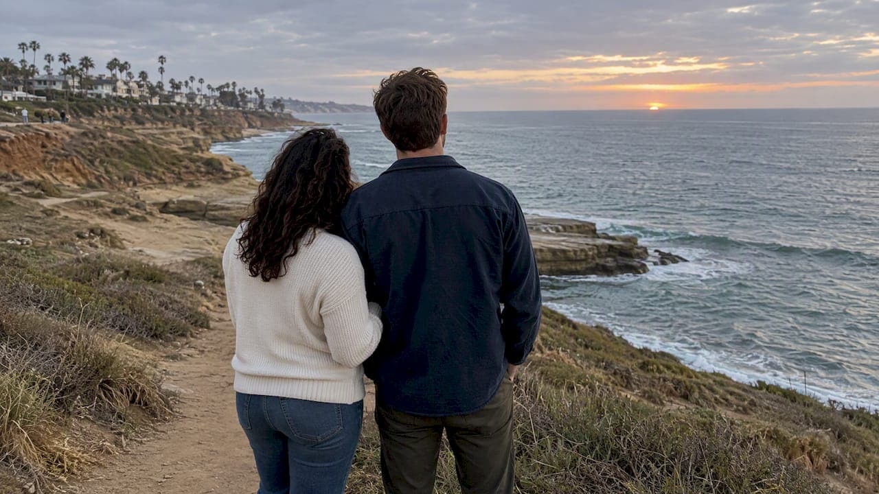
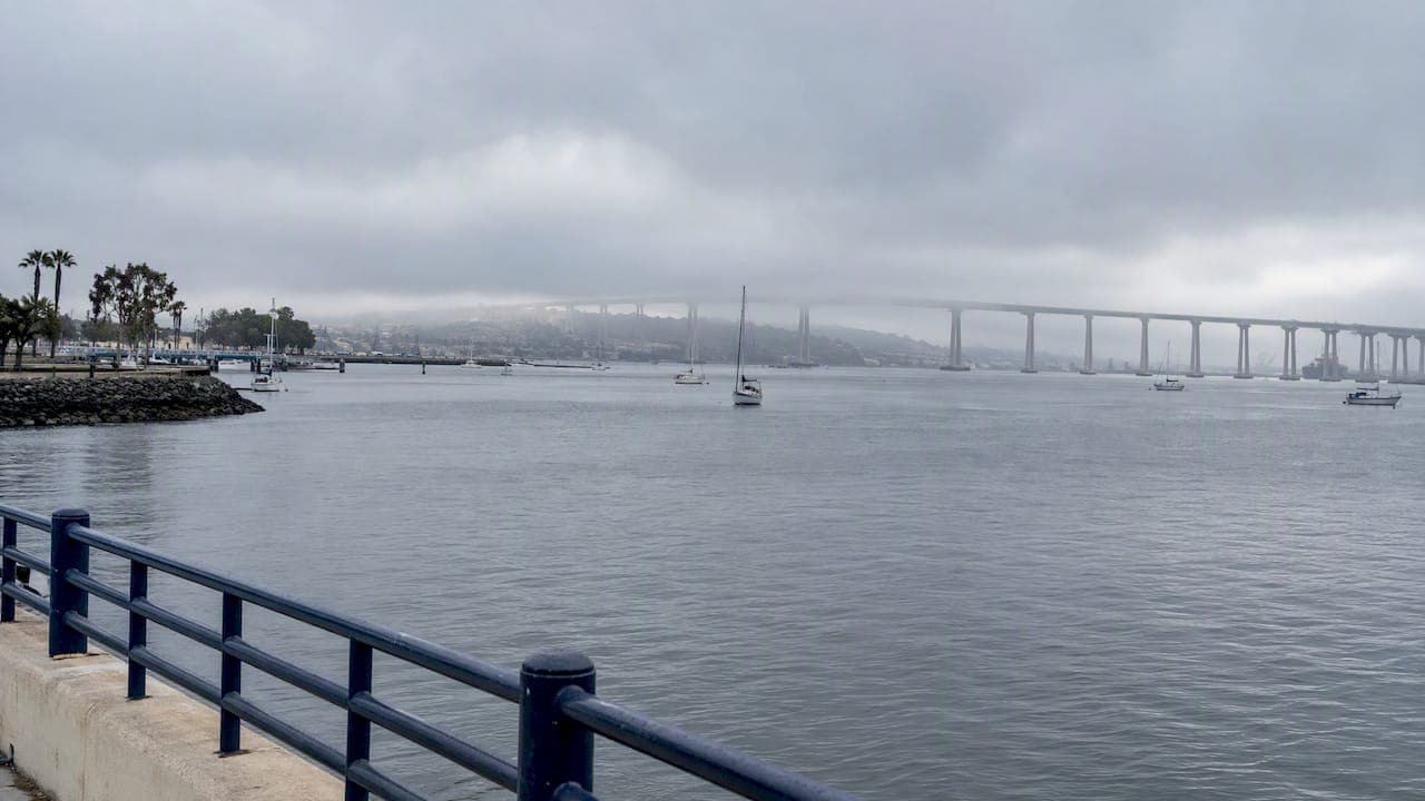
The marine layer is a low blanket of stratus clouds and cool, moist ocean air trapped under a warmer layer above, and San Diego lives under it often, especially during May Gray and June Gloom. Most days the coast clears between about 10 AM and 2 PM. When the layer runs deep, the gray can hang on until evening.
TL;DR:
- A wider gap between cold ocean water and warmer air strengthens the inversion; shallow layers clear faster, while deep layers can bring mist or drizzle.
- On strong inversion days, coastal clouds can last all day, while inland neighborhoods often clear by 9 to 10 AM, just miles away.
- Check the NWS Area Forecast Discussion for layer depth and clearing estimates; satellite images and webcams show whether clouds still cover the coast.
- Pair a coastal marine forecast, which gives expected winds, seas, and advisories, with a nearby buoy report for current visibility and conditions.
- For sun, plan outings in mid to late afternoon and bring a wind jacket; deep layers may linger into evening or bring mist and drizzle.
Table of Contents
- What is the marine layer and how does it form?
- When does the marine layer hit San Diego?
- How can you check marine layer conditions right now?
- How does the marine layer change temperature, visibility, and boating?
- What is a smart way to plan your day around the marine layer?
- A local’s habits for beach days and sails
- How can a private charter fit your marine-layer plans?
- FAQ
- Sources
What is the marine layer and how does it form?
Picture the Pacific as a giant cooling plate. Air that touches the cold water chills, and the moisture in it condenses into low clouds. That cool air sits beneath warmer air aloft, a setup meteorologists call an inversion. The warm “lid” keeps the cloud deck from rising, so it spreads across the coast like a gray blanket.
NOAA describes the marine layer as a low-level blanket of stratus clouds and cool, moist air that forms overnight when moisture from the cold ocean is trapped beneath warmer air. The strength of the effect comes down to one thing: the temperature gap between the ocean and the air overhead. A wide gap means a stronger inversion and a thicker, stubborn layer. A narrow gap means a thin one that melts away with the first real sun.
Depth matters just as much. A shallow layer usually burns off quickly in the morning light. A deep one, sometimes reaching thousands of feet, can linger or leave behind light mist and even a little drizzle.
When does the marine layer hit San Diego?
The marine layer is a year-round feature here, but it is not equally pushy in every season. It peaks in the stretch locals call May Gray and June Gloom. NOAA notes it is most persistent during those periods, when the difference between the cool ocean and the warm air overhead is greatest. Spring sunshine heats the air quickly, while the ocean lags behind, which tightens the inversion.
So if you are planning a late-spring weekend, expect gray mornings more often than not. In late summer and fall the ocean catches up, the gap narrows, and the clouds loosen their grip.
Geography adds another twist. Along the beach, the layer can persist all day on strong-inversion days, while inland neighborhoods typically clear much earlier, often by 9 to 10 AM. A short drive east can swap a chilly gray shoreline for full sun. That is why a beach that feels like a sweatshirt morning can sit just a few miles from a shorts-and-sunscreen afternoon.
How can you check marine layer conditions right now?
You do not need to guess. A handful of free sources tell you what the layer is doing and when it might break. Here is what we check, and what each one gives you:
- NWS Area Forecast Discussion (AFD): Written by San Diego forecasters, it often comments on layer depth and expected clearing, including notes on how high pressure aloft can squeeze the layer toward the coast.
- Coastal zone forecast: The San Diego County coastal zone forecast gives the standard burn-off outlook for beach communities.
- Coastal marine forecasts: NWS publishes marine forecasts by zone, including PZZ740 and PZZ745, with winds, seas, and hazards.
- Buoy reports: Buoy observations list visibility, wind, pressure, and sea state right now.
- Satellite and webcams: Visible satellite imagery and live coastal cameras show whether the gray is hugging the shore or already retreating.
Two rules of thumb help. Deep layer plus strong onshore flow usually means later clearing. Offshore flow can suppress the layer entirely, and onshore or southwest winds tend to deepen it and keep the coast mild.
How does the marine layer change temperature, visibility, and boating?
Think of the bay as its own microclimate. NOAA points out the layer creates a gap that can mean a 70°F beach day versus a 90°F inland day just a few miles apart. On a hot inland afternoon, San Diego Bay can be a cool, breezy retreat. On a gray morning, it can feel a full season cooler than downtown.

Visibility is the other piece. Low cloud and mist can shrink sight lines on the water, and on deeper days you may get a light drizzle. That matters for anyone watching channel traffic, buoys, or the Coronado Bridge from the cockpit.

For boating, the marine layer travels with shifts in wind and sea state. The authoritative reads come from the coastal marine zone forecasts, which cover winds, seas, and any advisories, paired with live buoy reports.
Pro Tip: Read the marine zone forecast and a nearby buoy together. The forecast tells you what is expected, and the buoy tells you what is happening on the water right now.
What is a smart way to plan your day around the marine layer?
A little routine goes a long way. Run through this list before you commit to an outdoor plan:
- Open a live coastal webcam and a visible satellite loop to see where the clouds sit.
- Read the NWS Area Forecast Discussion for comments on layer depth and timing.
- Check a nearby buoy for visibility, wind, and sea state.
- If sun is the goal, schedule for mid to late afternoon, after typical burn-off.
- Pack layers and a wind jacket, and leave buffer time in case clearing runs late.
Visitors who want guaranteed sun can pivot inland for the morning, then drift back to the coast once the sky opens up. If you would rather stay on the water, a later-day sail often pairs the best light with calmer, warmer air. For more ideas on timing around the seasons, our guide to off-season sailing for first-timers walks through what cooler months feel like on the bay.
A local’s habits for beach days and sails
Ask a San Diegan and you will hear the same ritual: peek at a webcam, skim the forecast discussion for the word “deep,” and move the plan to the afternoon if sun matters. On blistering inland days, the bay becomes the place to cool off.
Burn-off timing is partly pattern recognition, and it still surprises everyone now and then. Treat your gut as a starting point and the official forecasts as the final word.
— Captain Liz
How can a private charter fit your marine-layer plans?

Flexible timing is the whole advantage. Book later in the day and you can catch the post-burn-off sun, or lean into a cool, quiet cruise with champagne and good company. We sail the classic yacht Mojave with a USCG-certified captain, and every charter is fully private and built around your plan.
- Explore our sailing adventures, including the San Diego Sailing Cruise and Gilligan’s 3-Hour Tour.
- Prefer golden light? Try sunset sailing with a 2-Hour Sunset Cruise or 3-Hour Sunset Voyage.
- Wildlife fans can see our wildlife and whale-watching trips.
Tell Captain Liz your date, and we will help you pick the best window.
FAQ
Is there a marine layer in San Diego?
Yes. It is a year-round feature along the San Diego coast, and it is strongest during May Gray and June Gloom, when the ocean and overhead air differ most in temperature.
What is the marine layer in San Diego?
It is a low blanket of stratus clouds and cool, moist air trapped beneath warmer air above. It tends to form overnight and brings cooler, grayer weather to the coast.
When does the marine layer usually clear?
Beaches typically clear between 10 AM and 2 PM, though a strong inversion can keep clouds in place all day at the coast. Inland areas generally clear sooner.
Where can I check marine layer forecasts?
Start with the NWS San Diego Area Forecast Discussion and the coastal marine zone forecasts. Add a buoy report and a live webcam for current conditions.
Sources
- The Marine Layer | National Oceanic and Atmospheric Administration
- Zone Area Forecast for San Diego County Coastal Areas
- Coastal Marine Forecasts by Zone - San Diego, CA